|
|
Post by greysrigging on Jan 15, 2024 19:12:17 GMT -5
Decent old storm system impacting the Riverina district of NSW this morning.  |
|
|
|
Post by Beercules on Jan 15, 2024 19:38:23 GMT -5
another day, another round of storms for the usual dumbholes
|
|
|
|
Post by ral31 on Jan 15, 2024 20:15:48 GMT -5
Had more sleet than expected with winter event this afternoon with some light accumulation. Even saw some light flurries. 23F right now with a wind chill of 11F! Stayed in the 20's during the daylight hours with max of 30F at midnight! Pic of my yard.  |
|
|
|
Post by Beercules on Jan 15, 2024 22:37:16 GMT -5
|
|
|
|
Post by jetshnl on Jan 16, 2024 1:12:05 GMT -5
The warmest place in the country today was in the Arctic Nunavut with a 7.2C maximum.   |
|
|
|
Post by Steelernation on Jan 16, 2024 1:45:31 GMT -5
Another frigid day today, high was 3 (-16 c) at 1 AM and the vast majority of the day was sub-0. Currently -12 (-25 c) and likely to get even colder.
Went for a 30 minute walk earlier with temps as low was -13 (-25 c) as it was the coldest I’ve ever been outside in. Air very crisp and clean and while very cold, it wouldn’t have been unpleasant if I had worn proper snow pants and foot warmers.
|
|
|
|
Post by Beercules on Jan 16, 2024 3:45:04 GMT -5
Damn, my dewpoint maxed out at 25.9C at 5.10pm not long after those storms.
I got a direct hit, insane wind, hail, the works. Power went out so no PWS data during the worst of it. Meanwhile Renmark AP got fuck all.
|
|
|
|
Post by kronan2 on Jan 16, 2024 10:40:50 GMT -5
Very low temperatures in the southern half of Sweden this morning. Götaland recorded its lowest temperature since December 2010.  Very cold in western Svealand as well. Some stations had their lowest temperatures in 20-40 years.  Göteborg recorded -14.9C - lowest temperature since 2012. |
|
|
|
Post by rozenn on Jan 16, 2024 17:45:37 GMT -5
Fontainebleau's morning low was an epic fail @ -9.9°C/14°F, the coldest of the winter in Paris region so far. In the meantime, it wasn't even freezing in central Paris, with 0.2°C/32°F @ Lariboisière. -7°C/19°F @ Longchamp station a few km from there though. Btw, rediculous temperature gradient predicted right over Paris as a front stagnates over the area tomorrow:  Loads of rain predicted, some freezing rain first and hopefully some flurries in the night. Nice snowstorm a couple hundred km north of here prolly. Btw, contrasting temps this morning:  |
|
|
|
Post by tommyFL on Jan 16, 2024 19:34:23 GMT -5
Light snow fell in Pensacola for about a half hour this morning:  |
|
|
|
Post by greysrigging on Jan 16, 2024 20:02:27 GMT -5
Bit of chatter around on the various AU weather forums and weather FB pages re a possible record breaking heatwave in the Outback regions ( source: Ski.com ) "It is still 6 days away but there is potentially an historic heatwave brewing in the Pilbara early next week. The European model has been very consistent in predicting a furnace blast from the interior of WA over the Pilbara starting Sunday and culminating Tuesday with 850hpa temps of up to 35C over stations like Mardie on Tuesday. Usually 850hpa temps of 33C in summer can result in 50C temps at sea level so if the forecast holds true then places like Mardie could easily get to 51C and beat the all-time Australian record of 50..7C set in 2022 and 1960...something to keep an eye on in the coming days!  |
|
|
|
Post by tommyFL on Jan 16, 2024 21:35:37 GMT -5
What on earth is going on in West Memphis, AR? Temp briefly fell to -6 F then back up to 5 F in the span of 15 minutes? With no change in wind speed? hmm...  -6 F would be the coldest temp this station has recorded since opening in 2002.  |
|
|
|
Post by Beercules on Jan 16, 2024 23:03:06 GMT -5
Bit of chatter around on the various AU weather forums and weather FB pages re a possible record breaking heatwave in the Outback regions ( source: Ski.com ) "It is still 6 days away but there is potentially an historic heatwave brewing in the Pilbara early next week. The European model has been very consistent in predicting a furnace blast from the interior of WA over the Pilbara starting Sunday and culminating Tuesday with 850hpa temps of up to 35C over stations like Mardie on Tuesday. Usually 850hpa temps of 33C in summer can result in 50C temps at sea level so if the forecast holds true then places like Mardie could easily get to 51C and beat the all-time Australian record of 50..7C set in 2022 and 1960...something to keep an eye on in the coming days!  And ofcourse it'll all stay to the north, as per fucking usual. Next...  |
|
|
|
Post by nei on Jan 16, 2024 23:03:53 GMT -5
cold in Mexico  |
|
|
|
Post by Steelernation on Jan 17, 2024 0:25:53 GMT -5
Today had the coldest January temp since 1984 with a -17 f (-27 c) low this morning.
Pretty impressive cold snap — 3 straight sub-10 f highs and then the coldest January temp in 40 years today.
|
|
|
|
Post by Beercules on Jan 17, 2024 1:22:12 GMT -5
Bit of chatter around on the various AU weather forums and weather FB pages re a possible record breaking heatwave in the Outback regions ( source: Ski.com ) "It is still 6 days away but there is potentially an historic heatwave brewing in the Pilbara early next week. The European model has been very consistent in predicting a furnace blast from the interior of WA over the Pilbara starting Sunday and culminating Tuesday with 850hpa temps of up to 35C over stations like Mardie on Tuesday. Usually 850hpa temps of 33C in summer can result in 50C temps at sea level so if the forecast holds true then places like Mardie could easily get to 51C and beat the all-time Australian record of 50..7C set in 2022 and 1960...something to keep an eye on in the coming days!  And ofcourse it'll all stay to the north, as per fucking usual. Next...  the rolling downgrades have already started, stupid fucken cold front on the 24th with mid 20's. Yesterday it had 4x 40C days, now it's all been fucked, 15C downgrades on this so called 50C heatwave. Classic usual fake ass gobshite by these fucken Fuckbook fizzer trolls with their dumb fuck fake ass maps, frothing at the gash over +240hr models only for it to go in the complete ass opposite pokar direction, as per FUCK . Fake ass scam.       |
|
|
|
Post by greysrigging on Jan 17, 2024 1:27:17 GMT -5
^^ I didn't/don't believe it per se, but truth be known, was never/is not gunna be a southern regions thing....
Be intersting to see 4 day out predictions instead of 10 day out....
|
|
|
|
Post by Beercules on Jan 17, 2024 4:01:32 GMT -5
^^ I didn't/don't believe it per se, but truth be known, was never/is not gunna be a southern regions thing.... Be intersting to see 4 day out predictions instead of 10 day out.... It is already winding back, even for the north. Even in Oodnadatta it is heading in the opposite direction at the end www.bom.gov.au/sa/forecasts/oodnadatta.shtmlwww.australianweathernews.com/OCF/OCF_017.SHTMLThere is a reason why I don't look at the models, nor touch Fuckbook or Twatt... er sorry, EKS (X)    |
|
|
|
Post by Donar on Jan 17, 2024 6:57:22 GMT -5
Very interesting weather here today. A distinct air mass boundary is forming over the central part of Germany, right at my location. Right now it's -2 °C and raining, highest black ice warnings are released:
In the form of a square, two high-pressure and low-pressure systems face each other, allowing air masses of different temperature and humidity to converge: low-pressure system GERTRUD is currently located in the Atlantic off the French coast. Simultaneously, high air pressure prevails over Southeast Europe and near Iceland, flanked by low air pressure over Scandinavia. Cold air masses of polar origin flow southward from the north, while on the front side of GERTRUD, warm and humid air masses move northward. In the region where these air masses meet, strong lifting impulses lead to intense precipitation. By Wednesday, the warm front of Low GERTRUD aligns itself in a zonal manner through the component parallel to the flow, serving as a boundary where different air masses converge. This brings various weather hazards: on the cold side, intense snowfall is possible, and on the warm side, freezing rain or sleet may occur, posing a significant risk of slippery conditions.
|
|
|
|
Post by rozenn on Jan 17, 2024 17:54:56 GMT -5
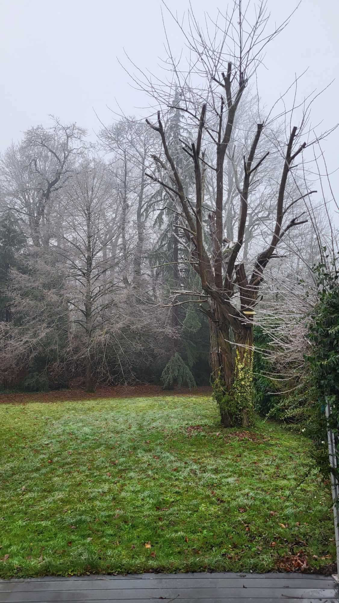
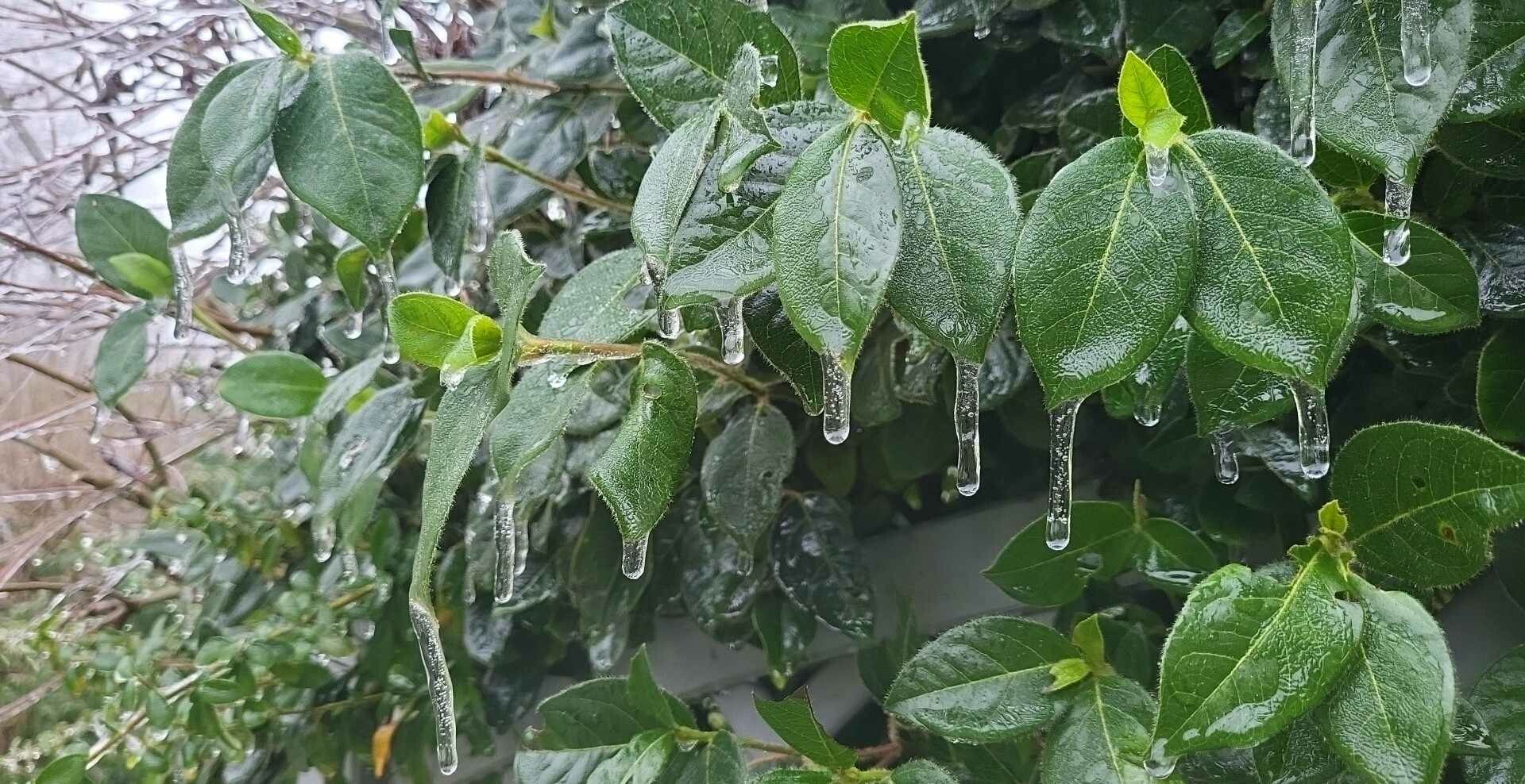
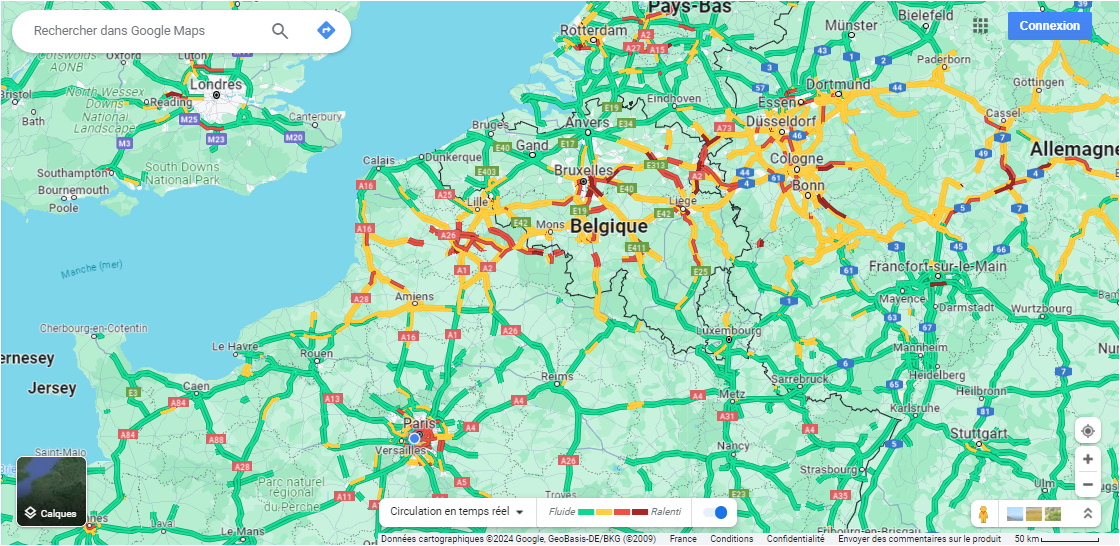
Fontainebleau's morning low was an epic fail @ -9.9°C/14°F, the coldest of the winter in Paris region so far. In the meantime, it wasn't even freezing in central Paris, with 0.2°C/32°F @ Lariboisière. -7°C/19°F @ Longchamp station a few km from there though. Btw, rediculous temperature gradient predicted right over Paris as a front stagnates over the area tomorrow:  Models were quite accurate at locating the boundary unfortunately:    Rediculous temp profiles in places, jumping between the warm and the cold side:  Very slippery this morning especially in the NW suburbs:   At least, looking at traffic jamais maps, one can follow the snowstorm in real time...  All in all, quite a sad day with 20 mm+ of cold (< 2°C) rain, be it freezing or not. |
|