|
|
Post by nei on Aug 2, 2018 23:28:33 GMT -5
|
|
|
|
Post by 🖕🏿Mörön🖕🏿 on Aug 3, 2018 0:02:24 GMT -5
I've drunk beers no problem at the beaches here. No one gives a shit. I once walked from the beer store to my place whilst drinking a beer with no complaints.  You try that down in the Land of the Free?  nah, I don't want to get shot by a trigger happy pig.  |
|
|
|
Post by urania93 on Aug 3, 2018 6:16:04 GMT -5
This week I'm on holiday from work and so I have the time for doing some trips around my place. Yesterday we crossed the alpine pass just above our village and we descended to the corresponding valley on the French side ( this is the road). The pass itself is a nice area, there is a large artificial alpine lake over there, so we stopped in there too. This time I took quite a lot of pictures from the car when we were travelling, so many pictures are worse than usual, but anyway... First of all, the pictures from our sides of the pass (actually I took these when we were returning back already)  ^ this is a quite panoramic point just above the village of Giaglione and the rest of the valley just behind it.    Just after the borderline, the Montcenis Pass (the area is at about 2000 m of altitude):   The dam and the artificial lake behind it:     The dam is actually pretty tall. There is a good visual from there.   There were quite a lot of people paragliding too:  Going down on the French side:    The first village on the other site is called Lanslebourg, it is at an altitude of about 1300 m and during the winter is a place where people go to for skiing. Overall it is not so different from the touristic villages in the high part of our valley. |
|
|
|
Post by urania93 on Aug 4, 2018 8:04:16 GMT -5
Yesterday we did another trip, this time in the woods just above the village following an old path. The original idea was to pick up some mushrooms in the meanwhile (we live in an area with lots of porcini mushrooms ), but we weren't lucky on this regard. Anyway, more or less we followed the direction indicated by the read line in this picture:  We started from a point at about 1000 m of altitude (we asked for a car ride for going up to the starting point, because we agreed that it was too hot for climbing 500 m and then returning back) and from there we returned back home crossing the woods, following the old path used for moving along the mountain side by the villagers in the past centuries. We took a couple of hours for returning back home, the real path is much less linear than the drawn one. More or less there are 500 m of altitude difference. The old path was completely paved with large flat stones and had two small stones walls all along the sides. In some points the mountain rock emerges on the surface, and the path is basically engraved in the rock itself. Nowadays many parts of the path are not so easy to spot anymore, but the parts which are are still pretty impressive.   The wood is quite varied: in the broad-leaves areas, which are the most extended, you can find birches, chestnut trees, oaks, beeches, poplars, limes trees, ash trees, wild cherry trees, nut trees, hazelnut trees and so on, the frequency changed a lot place by place.  Some other points instead don't manage to accumulate a deep layer of soil, and so tend to have only sparse small trees and bushes, or pines. From those points there is also a quite good view on the valley below:     Within 100 m you can pass from a humid spot with ferns to a relatively dry and sunny one with junipers   The last part of the path is modern instead, it was re-made to allow the fire fighter to quickly reach the place with their vehicles in case of fire (it is quite close to the village already, so any fire should be extinguished as soon as possible). From this point a quite interesting stone wall is well visible.  Some water courses crossing the path:   |
|
|
|
Post by Hiromant on Aug 4, 2018 12:58:47 GMT -5
August and September are months with epic skies here, I love it. 22°C at 9 PM.  |
|
|
|
Post by urania93 on Aug 4, 2018 14:41:44 GMT -5
Quite a flashy sunset in here today, the town just south of us has just had a good thunderstorm! We only saw/heard the lightnings/thunders and had a brief 2 minutes rain shower. Some frames of the lighting part:    The combination sunset light + clouds was actually pretty dramatic, in comparison with the intensity of the thunderstorm:  |
|
|
|
Post by Moron on Aug 5, 2018 8:49:54 GMT -5
Sunset  Sunset+goals  Street on the way back home  |
|
|
|
Post by Lommaren on Aug 5, 2018 14:20:47 GMT -5
|
|
|
|
Post by Lommaren on Aug 5, 2018 14:26:30 GMT -5
|
|
Deleted
Deleted Member
Posts: 0
|
Post by Deleted on Aug 5, 2018 14:55:58 GMT -5
Bit different from my normal uploads since it's actually relevant to weather. I took the dogs for an evening walk last week and saw these clouds, I thought they looked very unusual. They suddenly straighten up as if drawn with a ruler, not sure how common this is?  Looks much better on the vid, despite my shaky camera work. |
|
|
|
Post by 🖕🏿Mörön🖕🏿 on Aug 6, 2018 22:27:27 GMT -5
July 26th. It was hot and it looks hot in this picture taken at 3pm: 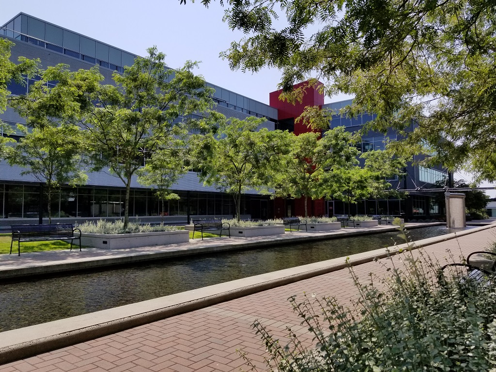 Looking like Fall already. The trees above this path were pretty sickly and bare looking. Very odd sight but didn't get any pics of them: 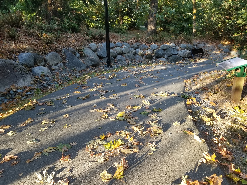 Busy ants: 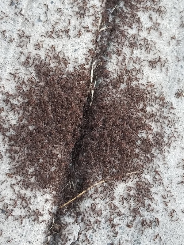 Busy ants zoomed out: 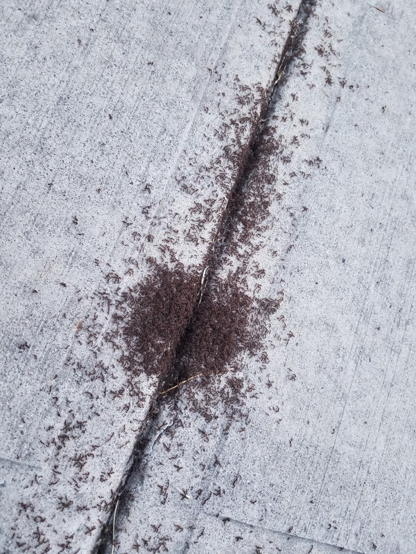 Extreme fire hazard. Never saw this last year and it was a dry summer too: 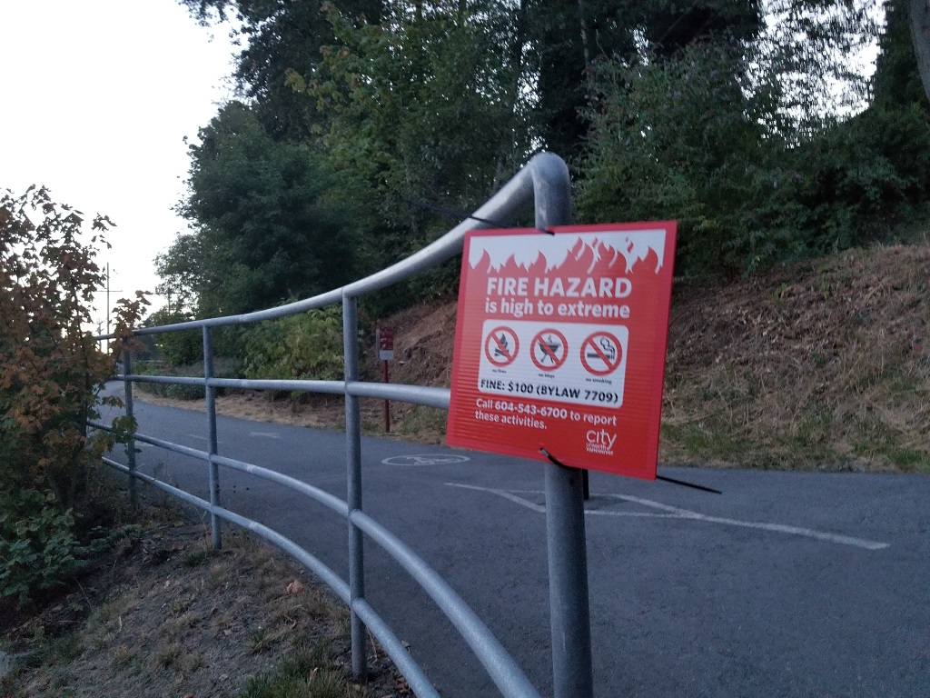 |
|
|
|
Post by Babu on Aug 7, 2018 18:29:44 GMT -5
The drought has reverted a lot. Sad in my eyes. The mediterranean look was cool. Before and after images a couple weeks ago and today:   |
|
|
|
Post by Wildcat on Aug 7, 2018 21:25:42 GMT -5
Dark storm clouds with blue sky in the background 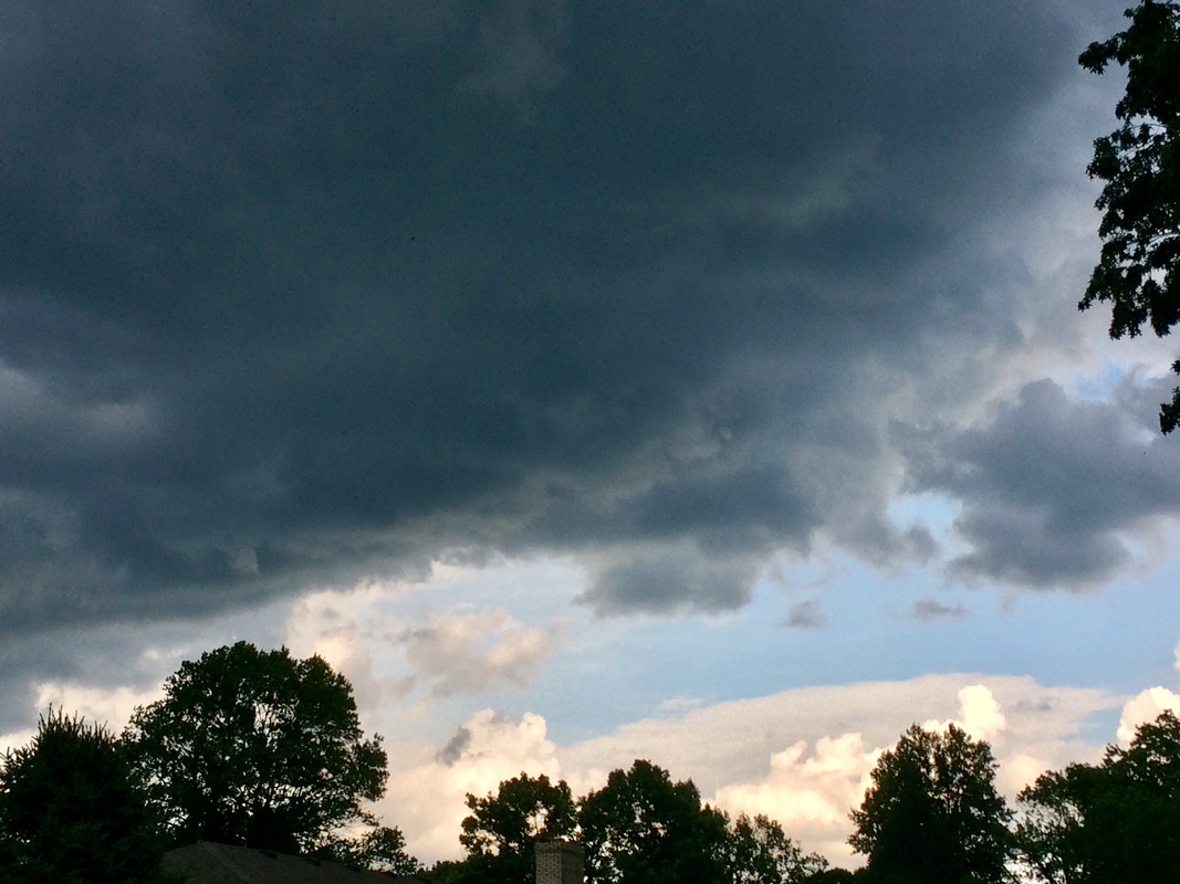 |
|
|
|
Post by nei on Aug 8, 2018 22:43:12 GMT -5
|
|
|
|
Post by aabc123 on Aug 9, 2018 12:06:53 GMT -5
It has been very dry. It depends on locations, some places what are very well exposed to sun look very yellow. This is Tartu ring road, a place very well exposed to sun and looks like some sort of dry savanna.  Today evening at 6 pm. (dates on photos are wrong) This is wild grass and a place on a bottom of a small valley and because of trees less exposed to sun.  evening, Põlva lake ![]()  evening  |
|
|
|
Post by 🖕🏿Mörön🖕🏿 on Aug 9, 2018 20:22:52 GMT -5
Impressive looking in Scandivania and la Baltique but can you top this shit? It's fucken dry!!! No idea why they haven't cut this long dead grass. It looks like it could catch fire at any second. Other areas with shorter grass are just turning into dirt/sand. It's gonna have to rain a lot for normality to return here, because the first inch or so will just be absorbed by every surface. 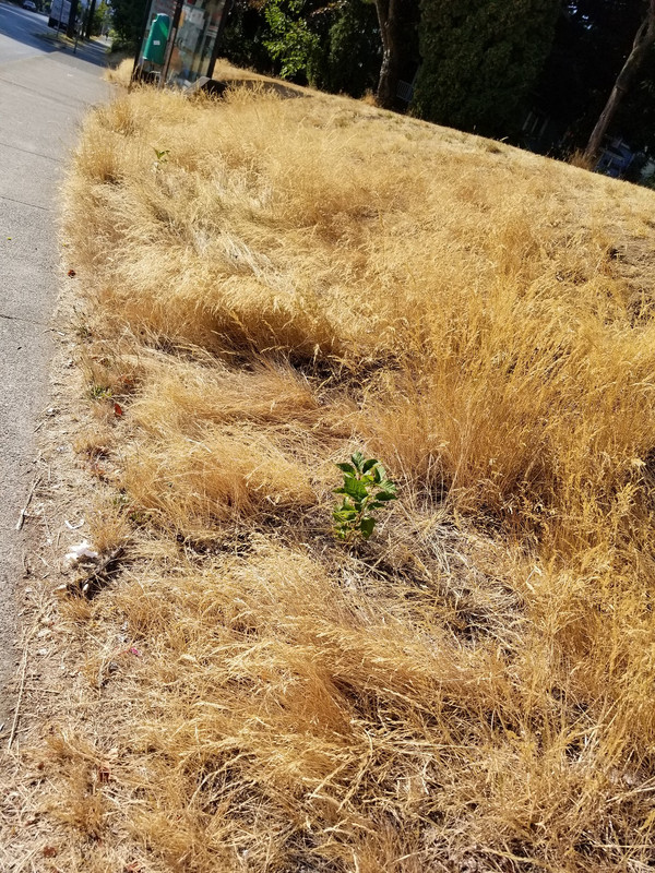 |
|
|
|
Post by nei on Aug 10, 2018 23:33:46 GMT -5
thunder cloud. or potential one. this one didn't hit me  big one coming  next morning, steady rain  cleared up  Massachusetts, looks tropique  clouds behind the Holyoke Range. thinking of going for a hike on the range, but it was so muggy; dews around 72°F / 22°C    more evidence the tropics are here  are these shrooms good to eat, good for making me lose me mind, or deadly Babu everything is lush and flowers are happy  after Tuesday's evening storm, Wednesday morning had fog on the hills  river is rushing  yesterday morning bike ride we found a road that avoided traffic and was peaceful and thorugh the forest. Rough and slowgoing  passed by a random huge house after exiting the forest  dirt road in better condition  streams are high  flooded section, biked thru it  tonight's pond view. Good home close to dark cause it's hard to leave the pond at sunset. at the time, Babu was instigating a debate of the invalidity of snowfall measurements while AJ1013 refuted. Which sunset photo is better?   |
|
|
|
Post by 🖕🏿Mörön🖕🏿 on Aug 10, 2018 23:42:16 GMT -5
nei the second sunset is better due to the more vibrant colours and higher detail. This is at 8:23am this morning at my work and it was very smoky due to a barge up in flames on the Fraser river: 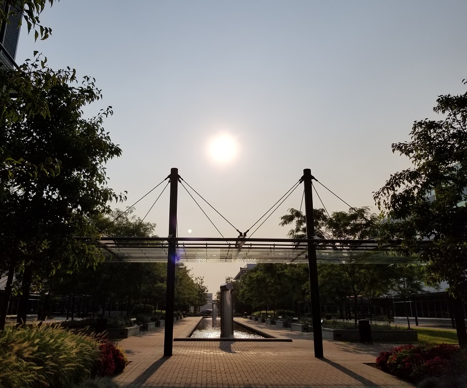 And this is at 5:03PM at the same spot but just farther ahead, looking in the opposite direction. The sun moved almost 180 degrees from the above picture: 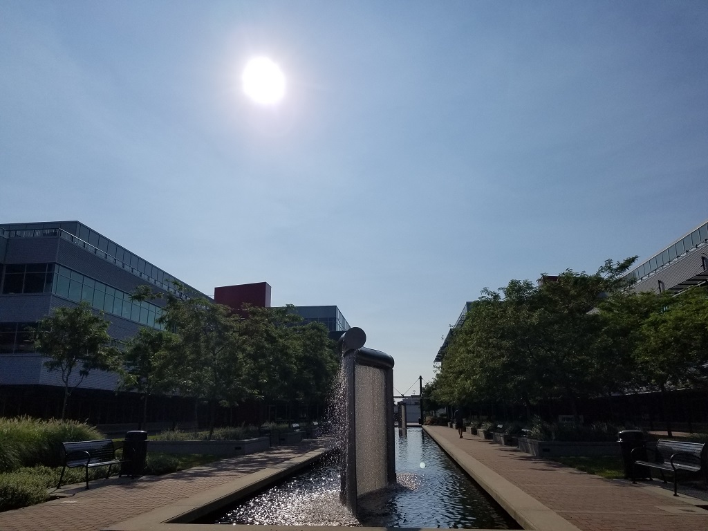 A nice relaxing ferry ride between Vancouver and North Vancouver: 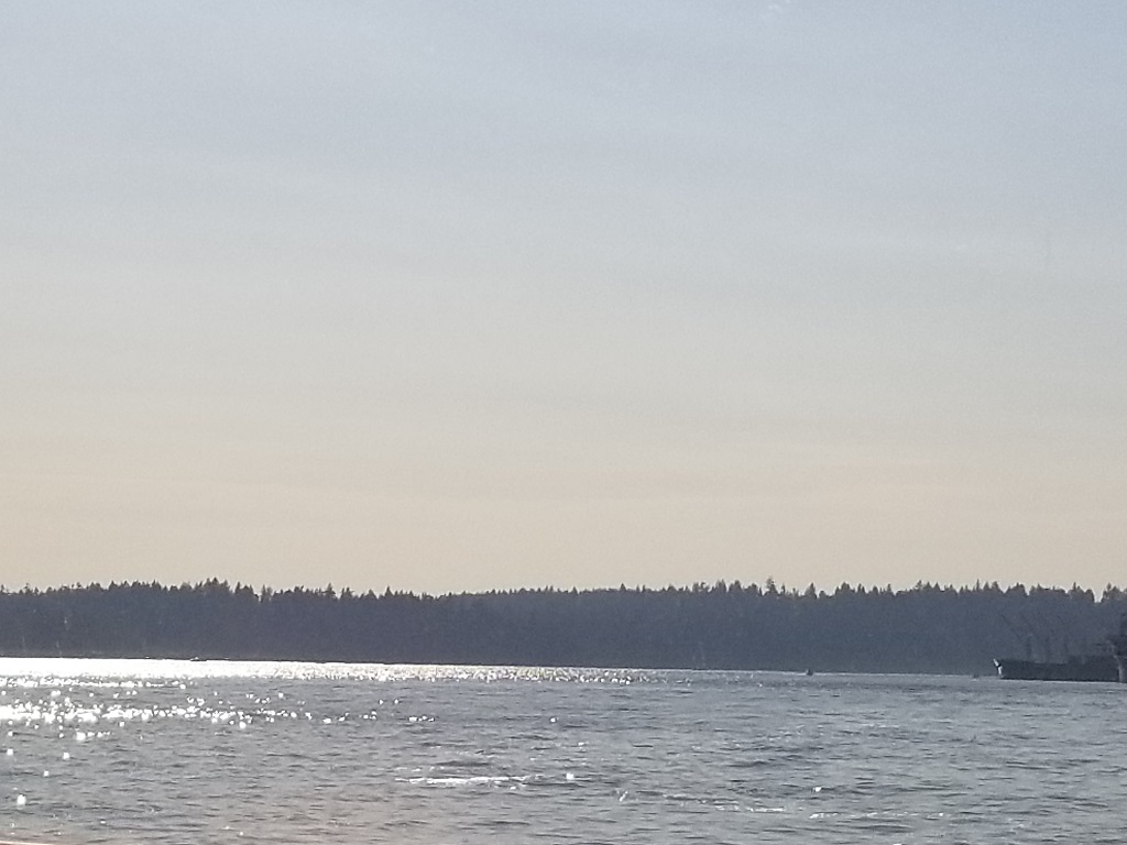
|
|
|
|
Post by Lommaren on Aug 11, 2018 9:22:58 GMT -5
Since I hit my ankles in my pedals during a scary slip the other day that almost caused me to crash, I haven't been able to ride and swim too much this week, so not too many pictures sadly. I do have a few though:
Very low levels on the river:
Some grass is more equal than others, especially when containing the municipal logo painted in it:
The road where the slip happened on the way back, not much space to drop a bike at here...
I chose a detour to the residential area of Bryngelstorp:
Sea bay in the distance:
The same bay from the Labro meadows, fronted by a lot of birds:
Picture-esque forest area:
|
|
|
|
Post by Wildcat on Aug 11, 2018 17:18:25 GMT -5
Beautiful thunderstorm about 10 miles to my north 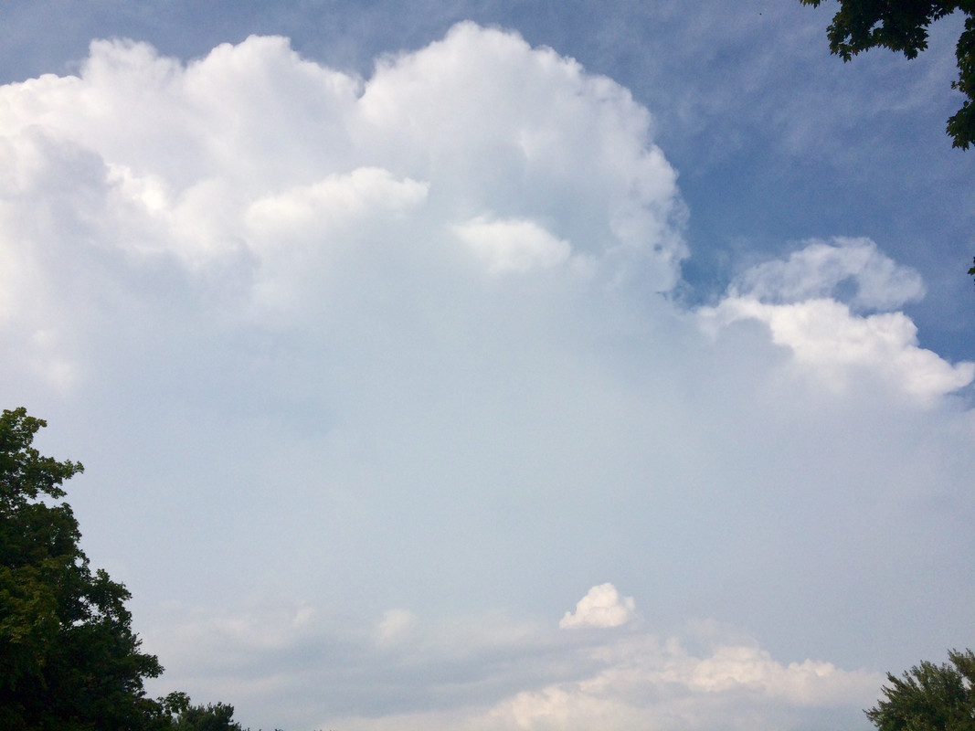 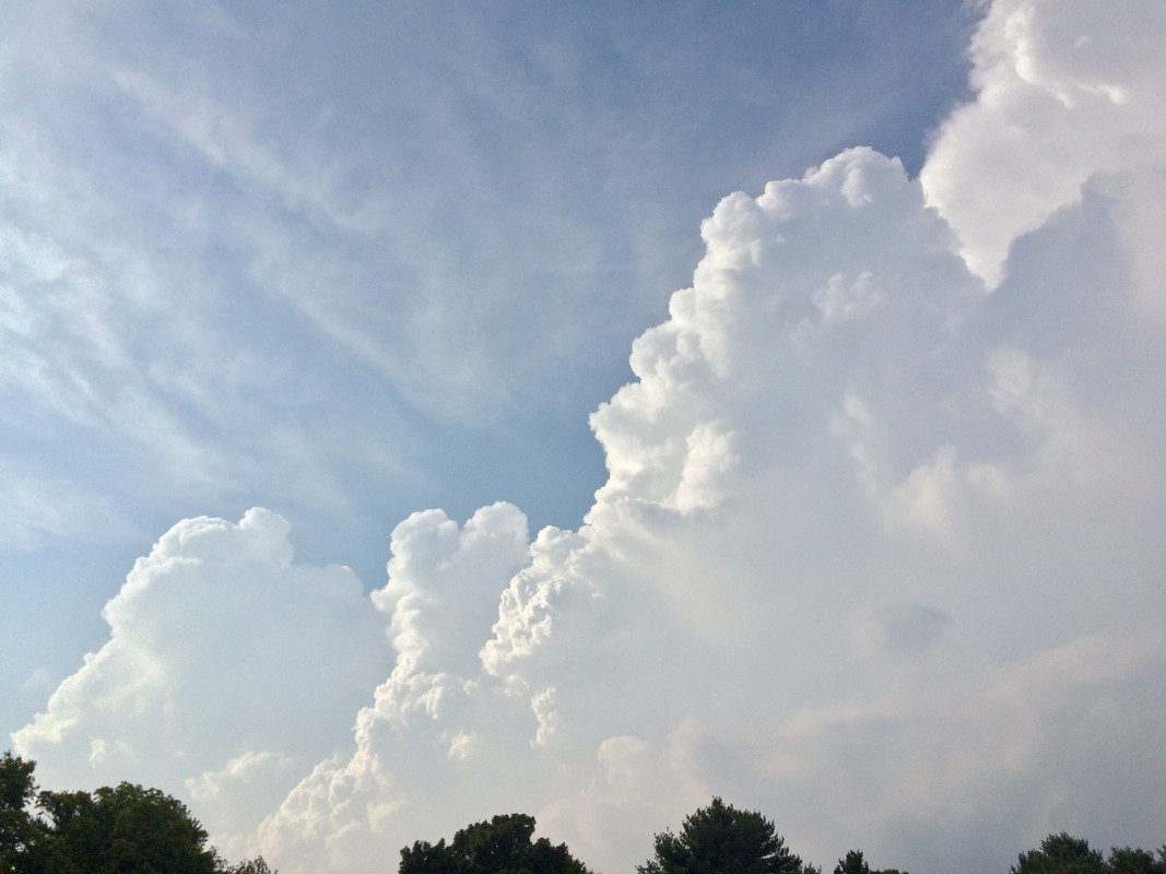 |
|