|
|
Post by nei on Jan 17, 2018 13:55:52 GMT -5
snowstorm is a bust everywhere but western part of the valley and Berkshires. White Mountains look too windy this weekend, thinking of a trip to Mt. Greylock
|
|
Deleted
Deleted Member
Posts: 0
|
Post by Deleted on Jan 17, 2018 14:18:08 GMT -5
Had a cover of thin snow which melted today. 0 degree temps continuing in Buxton til next week with more heavy snow showers in the borecast so no doubt I'll be seeing some accumulations in the next few days.
|
|
|
|
Post by Donar on Jan 17, 2018 14:18:56 GMT -5
Heavy snowfall today. No accumulation of course.
|
|
|
|
Post by Lommaren on Jan 17, 2018 18:51:17 GMT -5
Something between 6-8 cm snow cover in downtown right now, probably even more so in higher areas due to slightly cooler temps.
|
|
|
|
Post by Lommaren on Jan 19, 2018 5:50:39 GMT -5
Snow absolutely everywhere after another solid day of accumulation yesterday. The ploughing car is working as I speak and it's almost 12 am so I assume they've been very busy so far today  |
|
|
|
Post by nei on Jan 19, 2018 9:47:45 GMT -5
|
|
|
|
Post by nei on Jan 20, 2018 14:25:19 GMT -5
It's very strange, but it's not a few of those days isn't unheard of here. Often happens in late winter with a little bit of flurries when the ground is too warm. If it were a bigger event, the air would cool and it would stick or it would tap into a big moisture source that wasn't cold and be rain. Also, our countries' measuring standards may be different; if the snow doesn't accumulate to more than 0.1", it's labeled trace; dunno how that chart counts "trace". |
|
|
|
Post by Lommaren on Jan 20, 2018 15:42:17 GMT -5
Was out there in the -8°C cold and had some fun, laid in the snow looking at the sky and walked through deep snow on purpose  Good fun actually. Also, the air didn't seem humid at all tonight. That's a bit weird considering it's around 90 % humidity... |
|
|
|
Post by ral31 on Jan 21, 2018 15:48:25 GMT -5
Snow visible on satellite down to south Louisiana last week.  |
|
|
|
Post by knot on Jan 23, 2018 2:27:15 GMT -5
The 1951 snowfall of the Central Tablelands was fucken EPIC! The July 5th 1900 snowfall was much larger, still. The one pictured is the 1951 Oberon snowfall:  |
|
|
|
Post by knot on Jan 23, 2018 2:32:03 GMT -5
More typical snowfall for the region nowadays – July 7th, 2015:
|
|
|
|
Post by Donar on Jan 23, 2018 5:18:00 GMT -5
Snow depth as of yesterday morning. Too bad these maps aren't public. (That's just a screenshot from a report)  |
|
|
|
Post by boombo on Jan 23, 2018 11:39:14 GMT -5
|
|
|
|
Post by Donar on Jan 23, 2018 12:21:55 GMT -5
That's because a lot of snow has melted since yesterday moning, escpecially at lower and medium elevations. My map is from DWD too, just from a non public service. Values between stations are somehow modelled/interpolated. |
|
Deleted
Deleted Member
Posts: 0
|
Post by Deleted on Jan 23, 2018 13:51:11 GMT -5
today's snow map  the snow in götaland and southwestern svealand will rain away the coming days. |
|
|
|
Post by 🖕🏿Mörön🖕🏿 on Jan 25, 2018 1:54:22 GMT -5
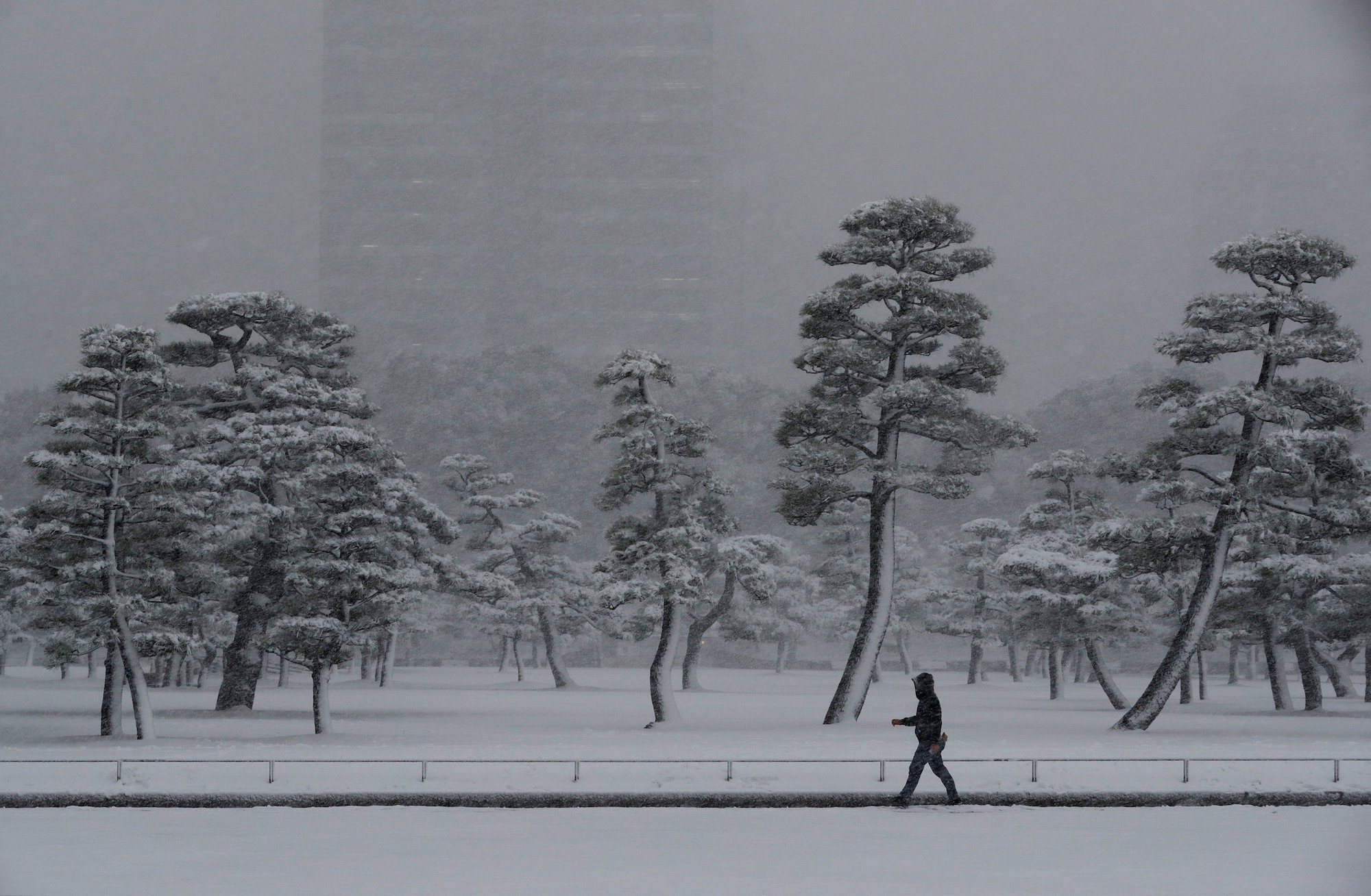
Tokyo received a good dump of snowfall a few days ago. By FAR, more snow fell there at 35N in one day than here at 49N all winter...with a low of -4C today (coldest in 48 years). China's seen a lot of snow recently as well, at low latitudes of course.  |
|
|
|
Post by Hiromant on Jan 25, 2018 2:16:13 GMT -5
One night of 4°C rain has devastated our ~20 cm snowpack. This is why consistency is so important with winter cold.
|
|
Deleted
Deleted Member
Posts: 0
|
Post by Deleted on Jan 26, 2018 10:32:45 GMT -5
today's snow map  140cm in jokkmokk now, and it's not even february yet. 190cm is the deepest snow depth recorded in sweden outside the mountainous areas. could definitely be beaten this year. |
|
|
|
Post by nei on Jan 26, 2018 14:16:19 GMT -5
icy treacherous mess to walk on but beautiful |
|
|
|
Post by 🖕🏿Mörön🖕🏿 on Jan 27, 2018 11:56:08 GMT -5
|
|