|
|
Post by ilmc90 on Jan 13, 2019 12:10:54 GMT -5
Some models have the eastern US going off the deep end in the next 2 to 3 weeks. This would be near all time record cold for me, approaching -30F. GFS isn't quite as nuts as the CFS. Will be interesting to see it play out. #SST
Looks pretty intense for the Ohio Valley into the Deep South (Alabama and Georgia). Would be interesting for sure. |
|
Deleted
Deleted Member
Posts: 0
|
Post by Deleted on Jan 13, 2019 12:22:19 GMT -5
Still snowing here.. estimate perhaps 3 or 4 inches
|
|
|
|
Post by nei on Jan 13, 2019 13:04:41 GMT -5
Looks pretty intense for the Ohio Valley into the Deep South (Alabama and Georgia). Would be interesting for sure. we haven't had an arctic blast focused on the Midwest (Michigan/Ohio River valley) rather than the Northeast in a while now. Though I don't remember those as much of course |
|
|
|
Post by ilmc90 on Jan 13, 2019 13:09:09 GMT -5
Looks pretty intense for the Ohio Valley into the Deep South (Alabama and Georgia). Would be interesting for sure. we haven't had an arctic blast focused on the Midwest (Michigan/Ohio River valley) rather than the Northeast in a while now. Though I don't remember those as much of course More common there than here though. Last year was an exception I guess. Wildcat has reported some pretty impressive temperatures in his neck of the woods. |
|
|
|
Post by nei on Jan 13, 2019 14:39:47 GMT -5
More common there than here though. Last year was an exception I guess. Wildcat has reported some pretty impressive temperatures in his neck of the woods. the mid February 2016 arctic blast and the extended cold of Feb/early March 2015 were all Northeast focused. But yea, I remember Wildcat reporting really cold temperatures, especially given his averages. Can't remember when those happened |
|
|
|
Post by alex992 on Jan 13, 2019 16:56:05 GMT -5
Some models have the eastern US going off the deep end in the next 2 to 3 weeks. This would be near all time record cold for me, approaching -30F. GFS isn't quite as nuts as the CFS. Will be interesting to see it play out. #SST
Looks like near -40 F where OH/KY/WV meet lol. -34 F in Charleston, WV would be insane, and the -29 F in Lexington would be their record low by almost 10 F. This would be quite an insane cold snap if it verifies. |
|
|
|
Post by rpvan on Jan 13, 2019 17:50:08 GMT -5
The new GFS gives the west some love. Legit coast to coast arctic blast!  |
|
|
|
Post by rpvan on Jan 13, 2019 17:54:40 GMT -5
Looks pretty intense for the Ohio Valley into the Deep South (Alabama and Georgia). Would be interesting for sure. we haven't had an arctic blast focused on the Midwest (Michigan/Ohio River valley) rather than the Northeast in a while now. Though I don't remember those as much of course 2013-14 and 2014-15 winters....historic cold for all east of the rockies. The PNW and SW are the regions most overdue for a historic arctic blast. |
|
|
|
Post by AJ1013 on Jan 13, 2019 18:05:12 GMT -5
we haven't had an arctic blast focused on the Midwest (Michigan/Ohio River valley) rather than the Northeast in a while now. Though I don't remember those as much of course 2013-14 and 2014-15 winters....historic cold for all east of the rockies. The PNW and SW are the regions most overdue for a historic arctic blast. It’s been a good winter here, Tucson’s already picked up multiple snow days and around 2” in most places. The PNW is getting fucked. |
|
|
|
Post by rpvan on Jan 13, 2019 18:29:40 GMT -5
2013-14 and 2014-15 winters....historic cold for all east of the rockies. The PNW and SW are the regions most overdue for a historic arctic blast. It’s been a good winter here, Tucson’s already picked up multiple snow days and around 2” in most places. The PNW is getting fucked. Doesn't change the fact that the west is long overdue for an arctic blast with similar anomalies to those that the East has experienced multiple times over the past decade. One in which valley locations from Vancouver to Medford below 10F and LA dips below 32F. |
|
|
|
Post by Giorbanguly on Jan 13, 2019 18:36:06 GMT -5
I agree, PNW is really overdue. I would love to see them get the same sort of negative anomolies that we got during the winters of 13/14 or 14/15
|
|
|
|
Post by Wildcat on Jan 13, 2019 20:23:54 GMT -5
Some models have the eastern US going off the deep end in the next 2 to 3 weeks. This would be near all time record cold for me, approaching -30F. GFS isn't quite as nuts as the CFS. Will be interesting to see it play out. #SST
 I can’t imagine us getting close to -30, but it definitely looks like some brutal cold is coming. |
|
|
|
Post by ral31 on Jan 14, 2019 22:28:27 GMT -5
Sky didn't clear as expected today so temp never got above 43F this afternoon. It stayed in the 40's yesterday also with persistent cloud cover.
It may come close to freezing tonight if the sky would clear up. It still hasn't reached freezing this month yet (coldest so far has been 33F)... Looking like it should easily get below that this weekend.
|
|
|
|
Post by ral31 on Jan 14, 2019 22:40:50 GMT -5
Snowfall forecast per latest GFS run.  Over a foot around the TX/LA border lol.  |
|
|
|
Post by Speagles84 on Jan 15, 2019 7:45:52 GMT -5
3 snows on my doorstep with increasing intensity. Tonight 1-2", Thursday 2-4", and Saturday... the European is projecting 15-20"  Thursdays |
|
|
|
Post by rpvan on Jan 15, 2019 20:37:52 GMT -5
Holy shit, snow down to the NE mexico coast on the clown range GFS. At the same time, the 540 line still hasn't crossed into the NW.  |
|
|
|
Post by Babu on Jan 16, 2019 14:06:21 GMT -5
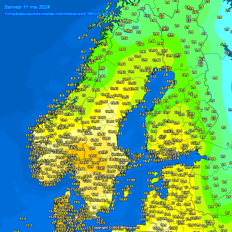
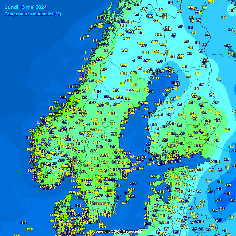
Very frigid in Northern Scandinavia today. High in Umeå was -14.4'C at 7pm yesterday. Here's a map of highs since 06 today UTC.  And lows  |
|
|
|
Post by AJ1013 on Jan 16, 2019 14:21:57 GMT -5
|
|
|
|
Post by Steelernation on Jan 16, 2019 15:20:30 GMT -5
This government alert case up on my phone this morning for “snow squall warning”.
At about 12 PM, the visibility suddenly plunged from 9 miles to 0.5 miles, the wind picked up with a 43 mph gust and it dropped 4 f in just 7 minutes. The airport only registered a trace of snow so it must have been very quick to not accumulate.
The squall lasted about half an hour then turned into a beautiful, sunny winter day.
The high was 36 (2 C), the warmest in awhile. Sunday’s forecast has been downgraded to 13/0, (-11/-18 C), hopefully it gets colder.
Already under a winter storm warning Saturday and Sunday, should be a very nice snowstorm!
|
|
Deleted
Deleted Member
Posts: 0
|
Post by Deleted on Jan 16, 2019 15:52:38 GMT -5
Our forecast for Sunday, 1/20-
High 9c / 49f
Low: -15c / 5f
LOL
|
|